Strolling in Swaledale
06:06So... on to the walk!
As advised by many of the routes, we parked at The Farmers Arms in Muker and set off towards Gunnerside and Keld through some meadowland. As you can see below, there's a stone footpath and a series of gates so it's pretty easy to follow - you should get to the river fairly quickly.

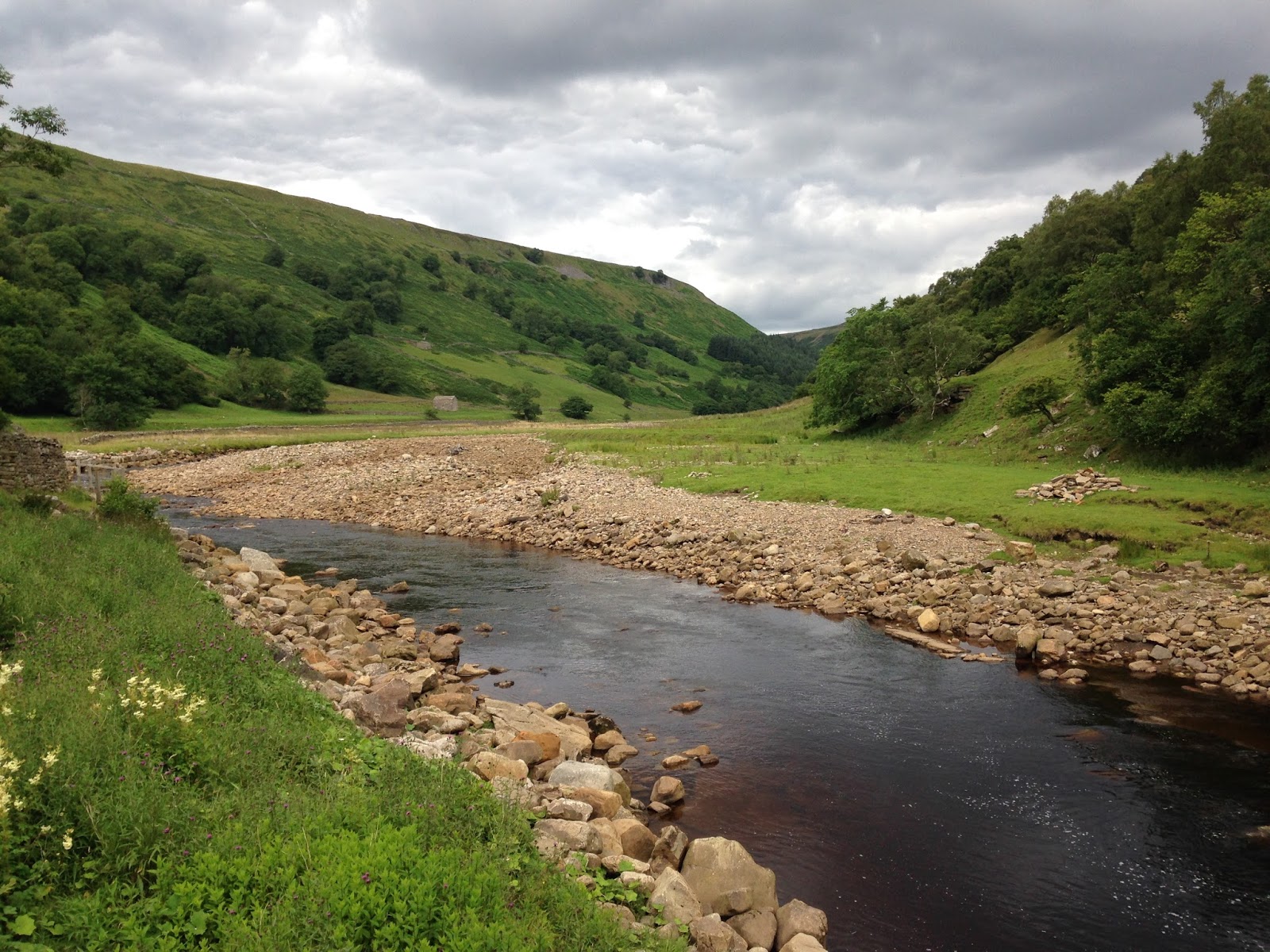
Once we reached the river Swale, we stopped for a bite to eat and took some pictures. There's a bridge to the right (Rampsholme Bridge) that you need to cross to continue the walk but you can also get to the other side of the river from here so we crossed over and had some lunch.

Unfortunately, it wasn't the sunniest day so I'd love to come back and take some pictures when the weather is better!


My best walking buddy :-)
On the other side of the bridge, there's a set of steps to the left with a sign pointing to Keld so once we'd finished our lunch, we headed up the track with the river to our left. The route to Keld is pretty simple from this point onwards; a wide stone track takes you straight there with a few waterfalls and gills to look at along the way.


No idea what this used to be (old farming machinery maybe?) but it made a good rest stop!

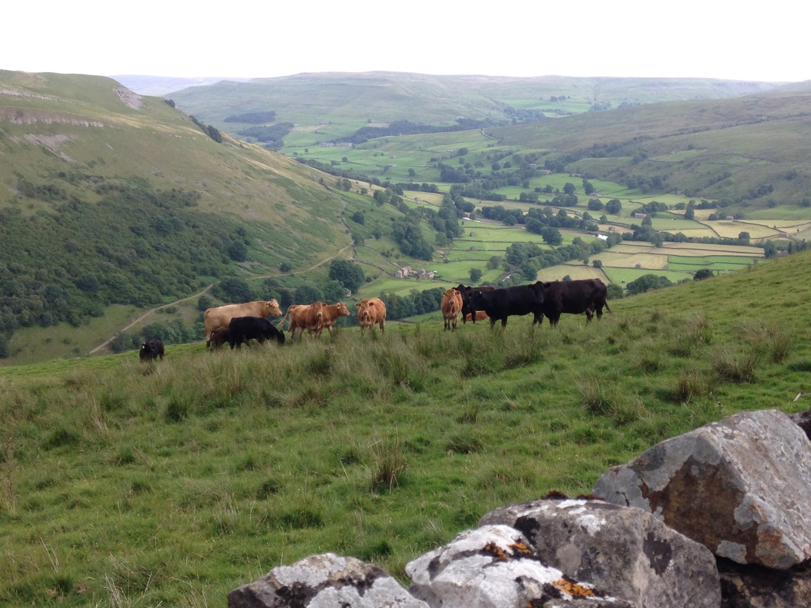
Sometime after passing this field barn (above), the path joins the Pennine Way and East Gill Force is to the left which you should definitely check out if you're close by! There's also a garden café on the other side of the footbridge at the bottom of the gill - we didn't stop there but carried on uphill where there's a gate and a sign pointing towards Muker. This track also takes you to the upper and lower falls of Kisdon Force, which are particularly popular in the summer for bathing as the pools are pretty deep! At the next sign post, we turned right for the Pennine Way, Thwaite and Muker and carried on uphill to the next sign pointing left for Muker with the river on our left. Eventually, the path starts to go downhill between a few barns where we spotted some cattle grazing. Not long after, the path joins a tarmac track leading back to Muker so we headed back to the car and drove home!

Overall, I'd say it was an easy-moderate walk. It's only 6/7 miles and the gradient varies throughout. Although we started in Muker, you could definitely do the opposite and park in Keld or alternatively, you could join the Pennine Way at East Gill and visit some of the other waterfalls nearby!
I hope you enjoyed this post! If you haven't already, do check out my previous post about my trip to Richmond last year as there's lots of fun things to do in the area - you can read all about it here.
Thanks for reading and have a lovely week!
Jade x
**************************
Follow me on social media:
Instagram: @jade_cormack (for pictures of my daily life) and @countryandcloud (for travel pics and blog updates)
Twitter: @jadecormack
Walking routes used:

An end-of-walk selfie!


0 comments